
2020
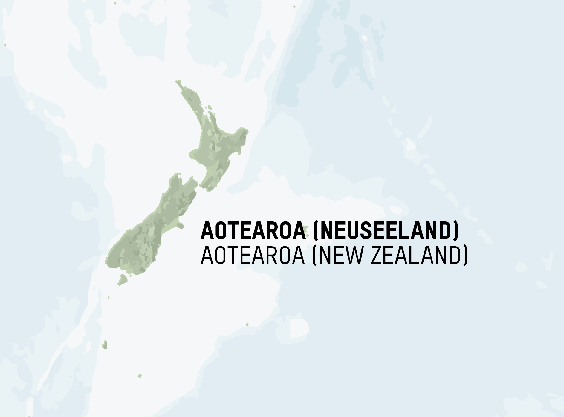
I created this map of the general region of Polynesia using a simplified hillshade as well as data relating to the depth of the water. By giving depth to the water, it becomes easier to give shape to the Pacific.
This work was part of my broader cartographic work with at the Humboldt Forum Berlin. The work involved creating over 100 maps of different sizes and themes for the permanent exhibition of the State Museums of Berlin (Staatliche Museen Berlin), particularly the Ethnologisches Museum and the Museum für Asiatische Kunst.
Diese Karte zeigt die allgemeine Region von Polynesien. Die Karte bietet Hügelschatten und Wassertiefe, um die tatsächliche Form des Pazifiks durchscheinen zu lassen.
Diese Arbeit war Teil meiner umfassenderen kartografischen Arbeit für das Humboldt Forum Berlin. Die Arbeit umfasste die Erstellung von über 100 Karten unterschiedlicher Größe und Themen für die Dauerausstellung der Staatlichen Museen Berlin, insbesondere des Ethnologischen Museums und des Museums für Asiatische Kunst.
