
2020
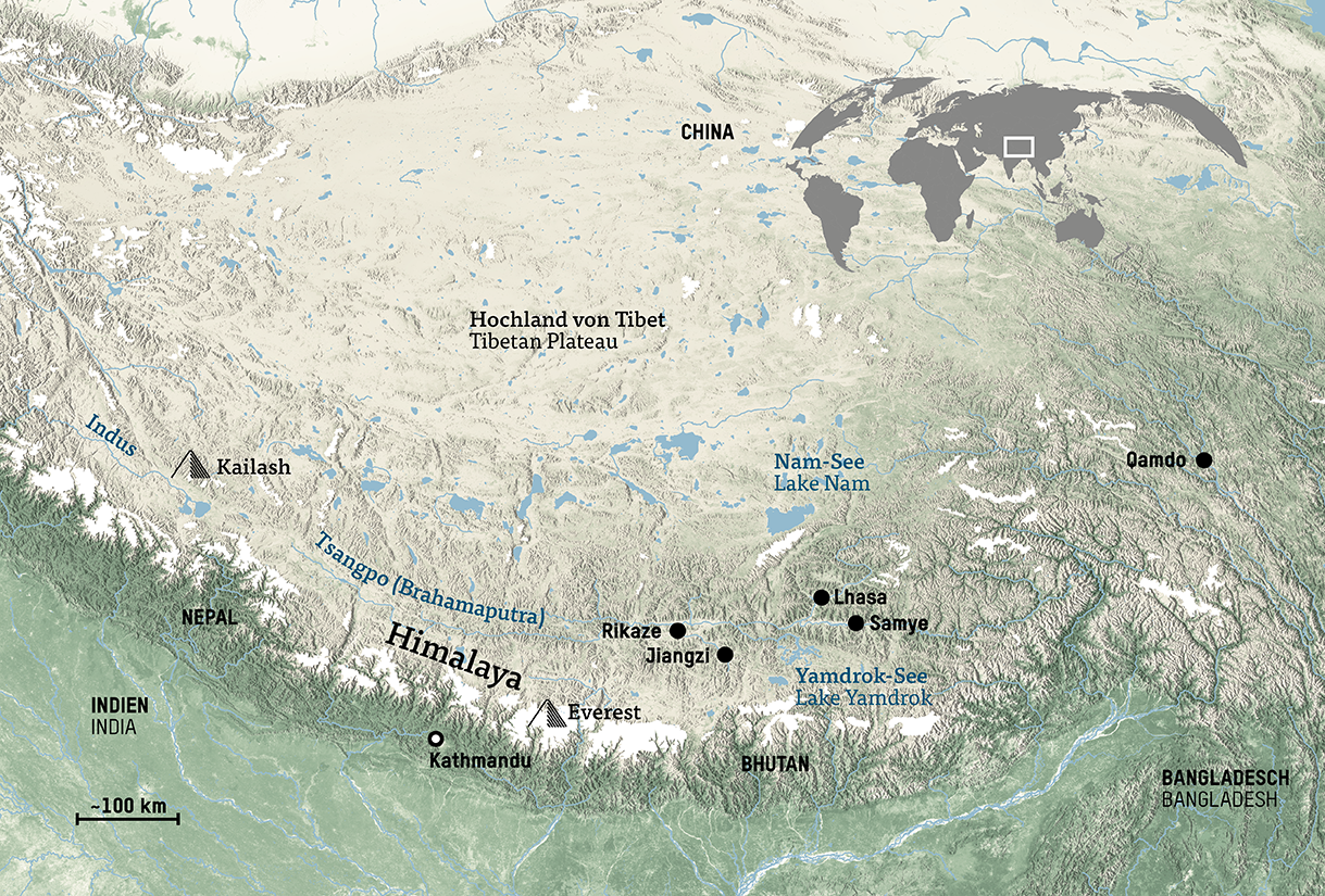
I created this map showing the general area around the Tibetan Highlands spreading from China to India over the Himalayas. To create the map I made use of a coloured topography, with glaciers and other waterbodies featuring prominently.
This work was part of my broader cartographic work with at the Humboldt Forum Berlin. The work involved creating over 100 maps of different sizes and themes for the permanent exhibition of the State Museums of Berlin (Staatliche Museen Berlin), particularly the Ethnologisches Museum and the Museum für Asiatische Kunst.
Diese Karte zeigt das allgemeine Gebiet um das tibetische Hochland, das sich von China über den Himalaya nach Indien erstreckt. Zur Erstellung der Karte habe ich eine farbige Topografie verwendet, in der Gletscher und andere Wasserflächen hervorgehoben wurde.
Diese Arbeit war Teil meiner umfassenderen kartografischen Arbeit für das Humboldt Forum Berlin. Die Arbeit umfasste die Erstellung von über 100 Karten unterschiedlicher Größe und Themen für die Dauerausstellung der Staatlichen Museen Berlin, insbesondere des Ethnologischen Museums und des Museums für Asiatische Kunst.
